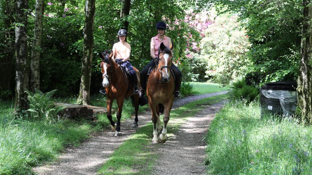
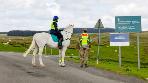
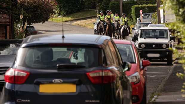
Do you have riding routes in your area that don’t appear on the Ordnance Survey map?
Riders are being urged to ensure all their hacking routes are on their local council’s “definitive map” of rights of way, or risk losing them.
Many routes that have been used by riders for decades are not recognised as such on the corresponding council’s list.
“There are so many routes that we need to apply for and if we don’t they will disappear in 2026 and we will have far fewer places to ride,” said access expert Sarah Bucks.
“The first step is to look at the places you ride on an Ordnance Survey map,” said Sarah. “If the routes are not on there, ask your county council what the route’s status is.”
Examples, she says, are routes that were used until the advent of the car which, because they were not adopted by councils and tarmacked, have been forgotten.
Sarah and former British Horse Society (BHS) chairman Phil Wadey published their book Rights of Way: Restoring the Record earlier this year as a one-stop guide to getting routes recognised.
Sarah estimates that at least five routes in every parish need reclaiming for riders.
Under the Countryside and Rights of Way Act 2000 (CROW) applications to formalise the right to ride on these routes ends in 2026.
Although this date is still 13 years away, there are around 20,000 unclaimed routes and some councils are so understaffed they may need many years to process them.
If you believe a route has become lost, you need to collect evidence of its equestrian use and make an application to your council.
The BHS is urging its members to get involved.
“We encourage people to collect evidence of the historical status of routes they ride — they can get help from their local BHS rights of way officer,” said Mark Weston of the BHS.
Rights of Way: Restoring the Record is available from the BHS online bookshop www.britishhorse.com
This news story was first published in the current issue of H&H (4 January 2012)


